Landsat.Earth
About Landsat.Earth
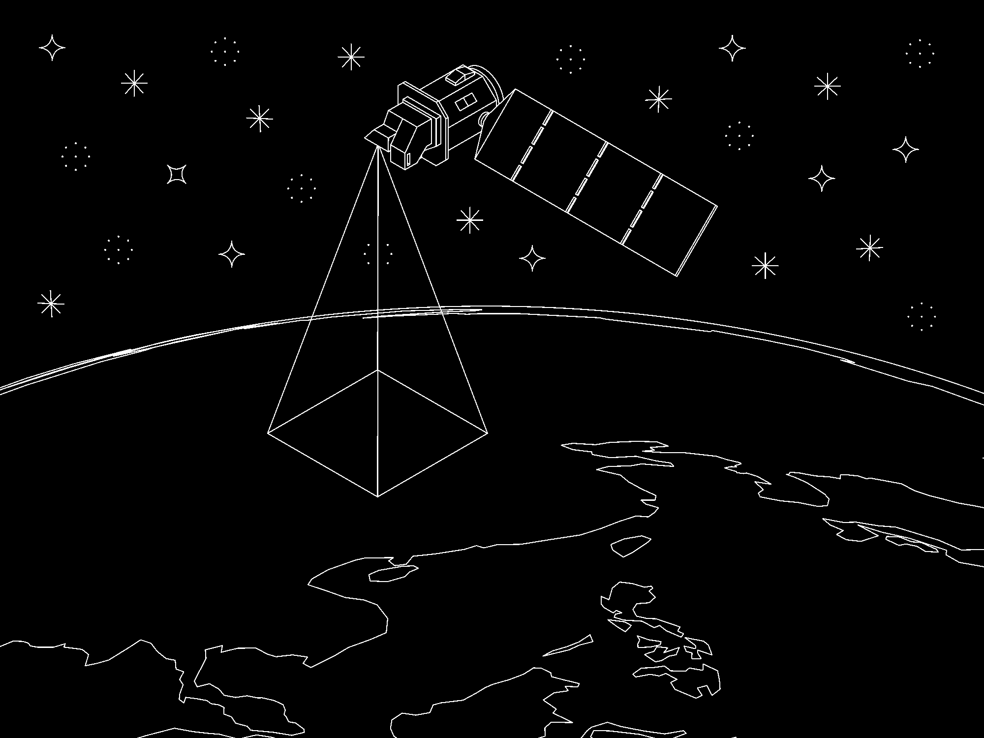
Landsat.Earth is a low-resolution portrait of the earth as it appears to the Landsat 9 satellite. It is made by combining all the images captured by Landsat 9 in one day.
Landsat 9 is an Earth observation satellite which images every point on Earth once every 16 days. The diagonal lines on the map correspond to the satellite's orbit. Each pixel of a Landsat image represents an area of 30x30 metres on the ground. Due to their coarse spatial and temporal resolution, Landsat images are ill suited to surveillance at the human scale and instead function as documents of planetary phenomena. All Landsat images are in the public domain.
Landsat.Earth is built using the USGS Machine-to-Machine API and maintained by Shaheer Tarar.